logo-myspatial

Geospatial Mapping Specialist in Malaysia

MySpatial Sdn Bhd is a GIS company in Malaysia that provides professional Geospatial services to the government and private sectors.
We provide advanced technology and robust performance to allow Agriculture Drone Mapping services; simple and efficient.
We engage in Geospatial Technology, Information and Communication Technology (ICT), and Research and Development (R&D).

Application

MySpatial Sdn Bhd, ‘MySpatial’ specializing in the acquisition, development and delivery of Geospatial information to both government and private sectors. Our focus on geospatial applications range from:

Agriculture

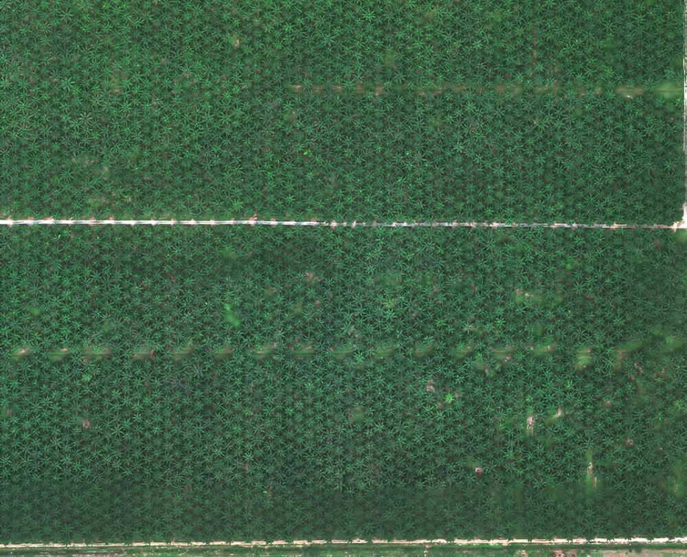
Oil Palm, Rubber and Paddy

Transportation

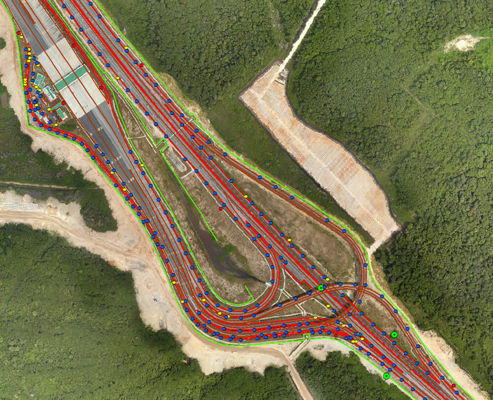
Road and Highway Construction / Operator

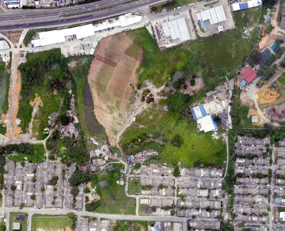
Local Administrative Bodies and Municipalities
Utilities

Electricity, Water and Gas
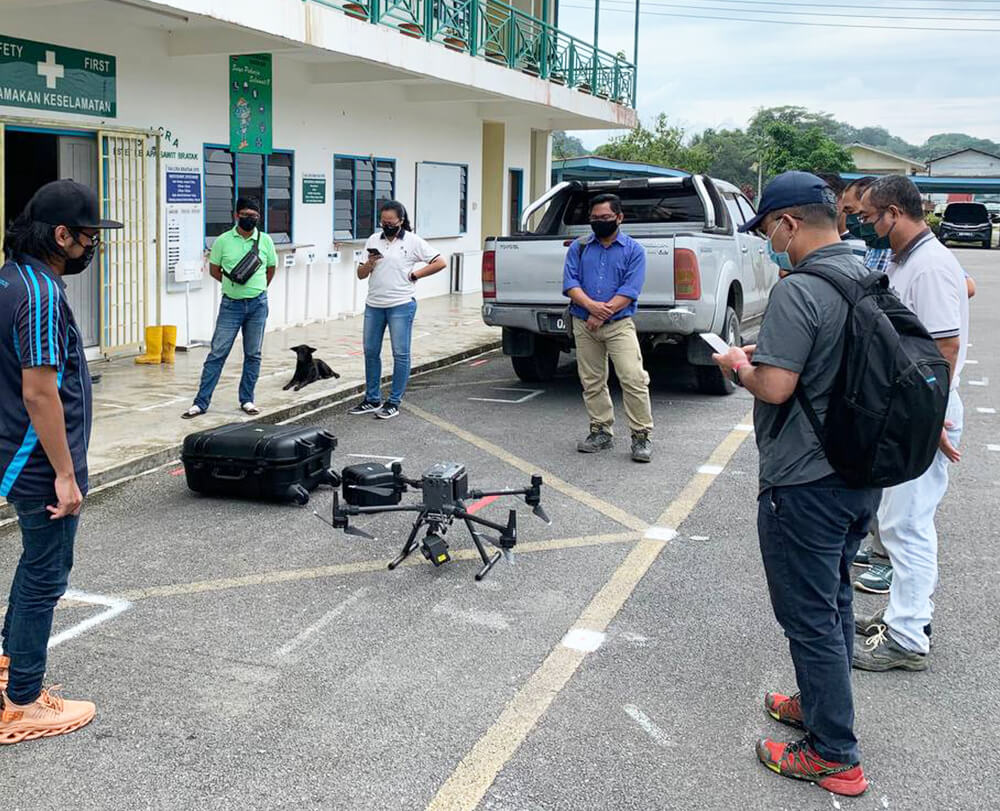
Forestry
Environment
Why MySpatial

Why MySpatial

MySpatial has over 11 years of experience creating scientifically proven Geospatial solutions with cutting-edge technology.

Business from a variety of sectors rely on our extensive expertise of sophisticated geospatial analytics, machine learning, and remotely sensed geospatial data to make smarter decision.

Our Clients